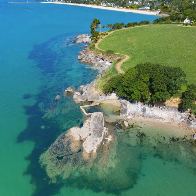
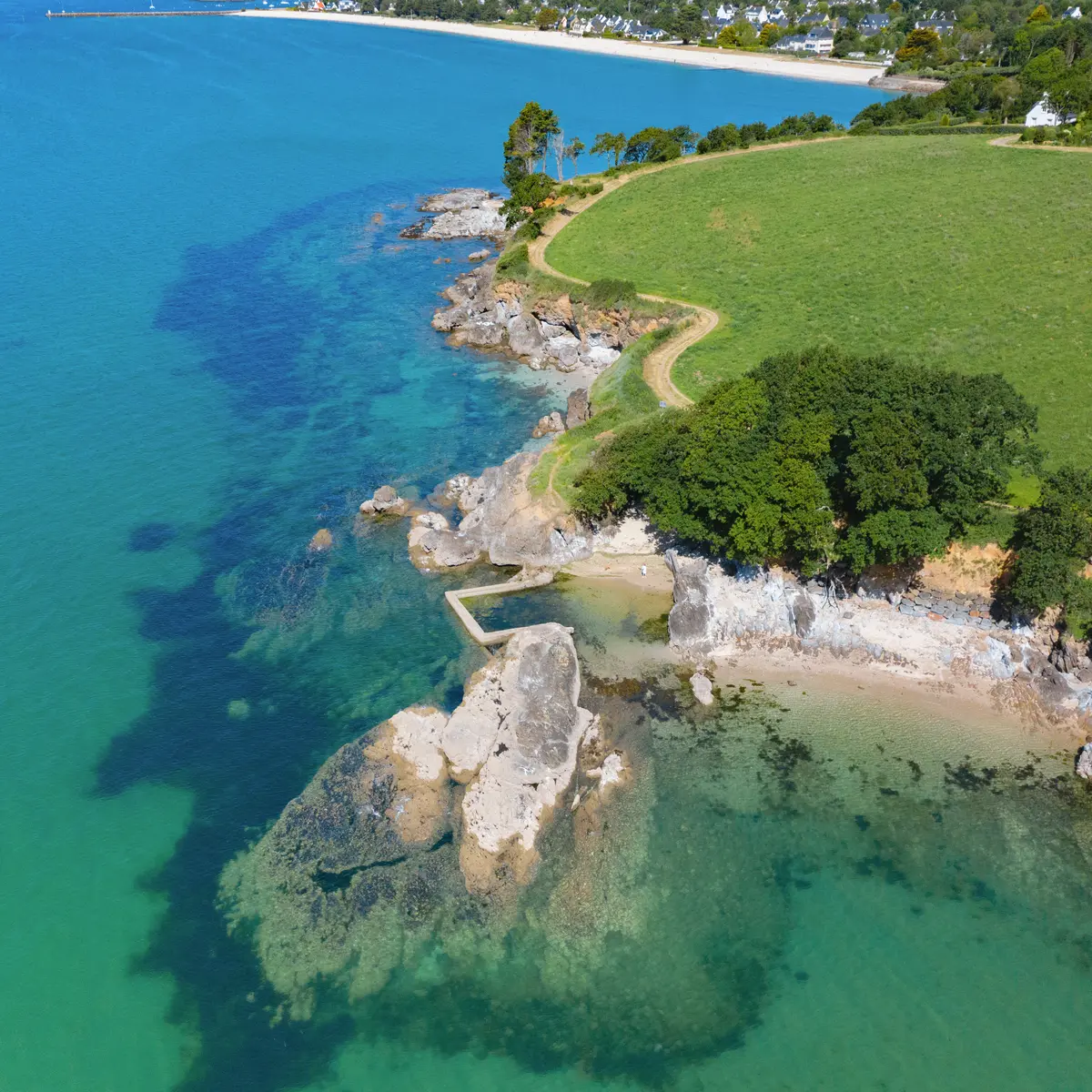
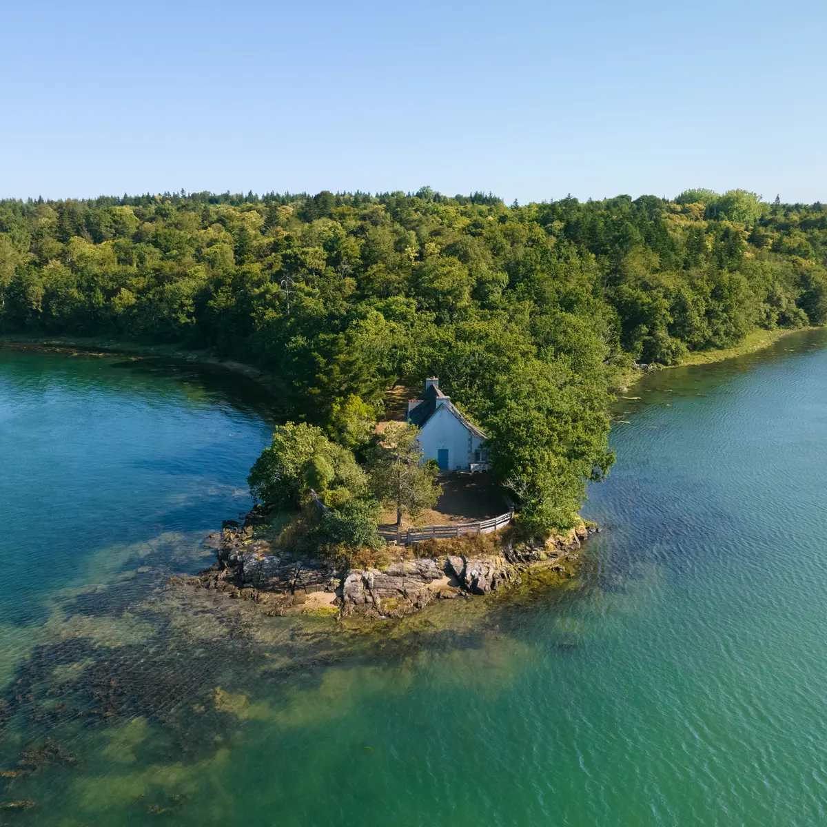
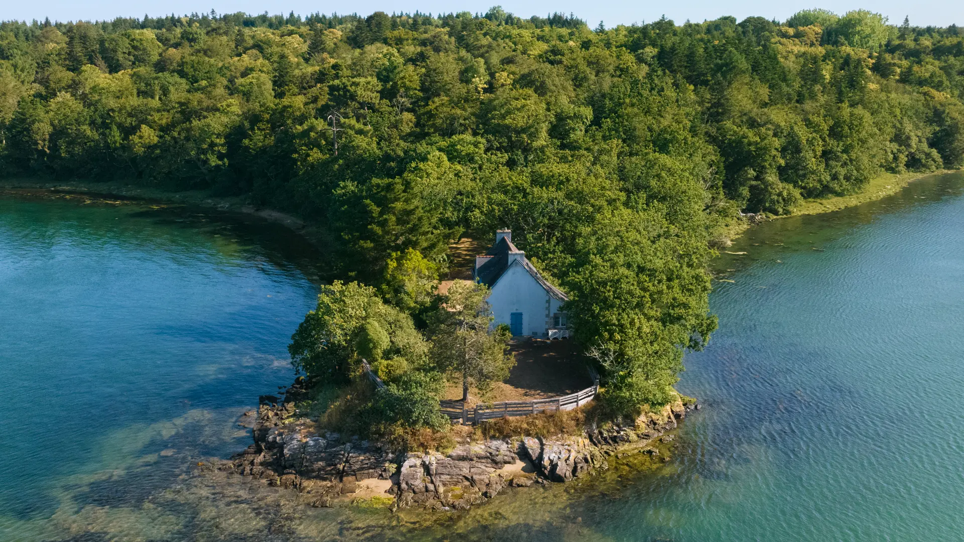
The GR®34, also known as the "sentier des douaniers", runs along more than 1,800 kilometres of Brittany's coastline, from Mont-Saint-Michel to the Arzal dam. Originally created to monitor the coastline at the time of the Revolution, it has now become a paradise for hikers and lovers of the sea.
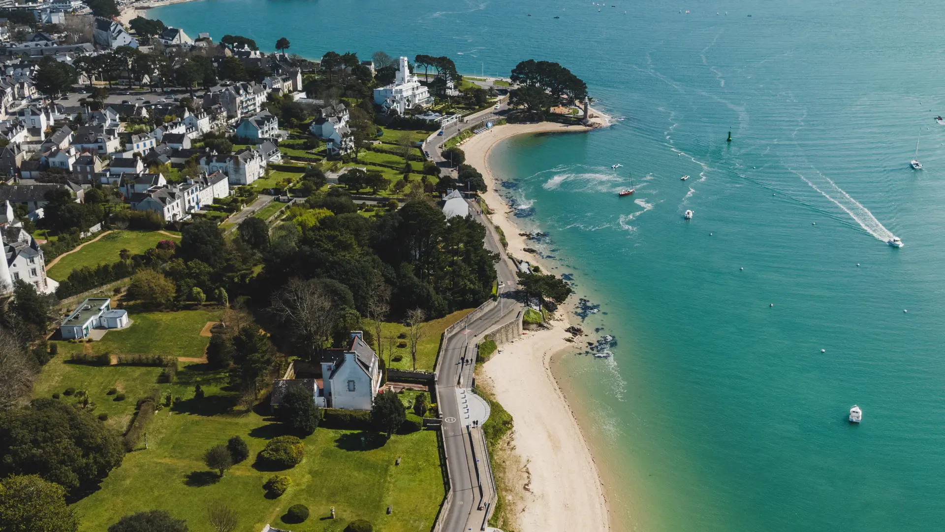
On the Breton Riviera, it stretches over 37 kilometres of coastal path through five coastal communes: La Forêt-Fouesnant, Fouesnant, Bénodet, Clohars-Fouesnant and Gouesnac'h. A stretch as rich as it is varied, offering total immersion in the Breton seascapes.
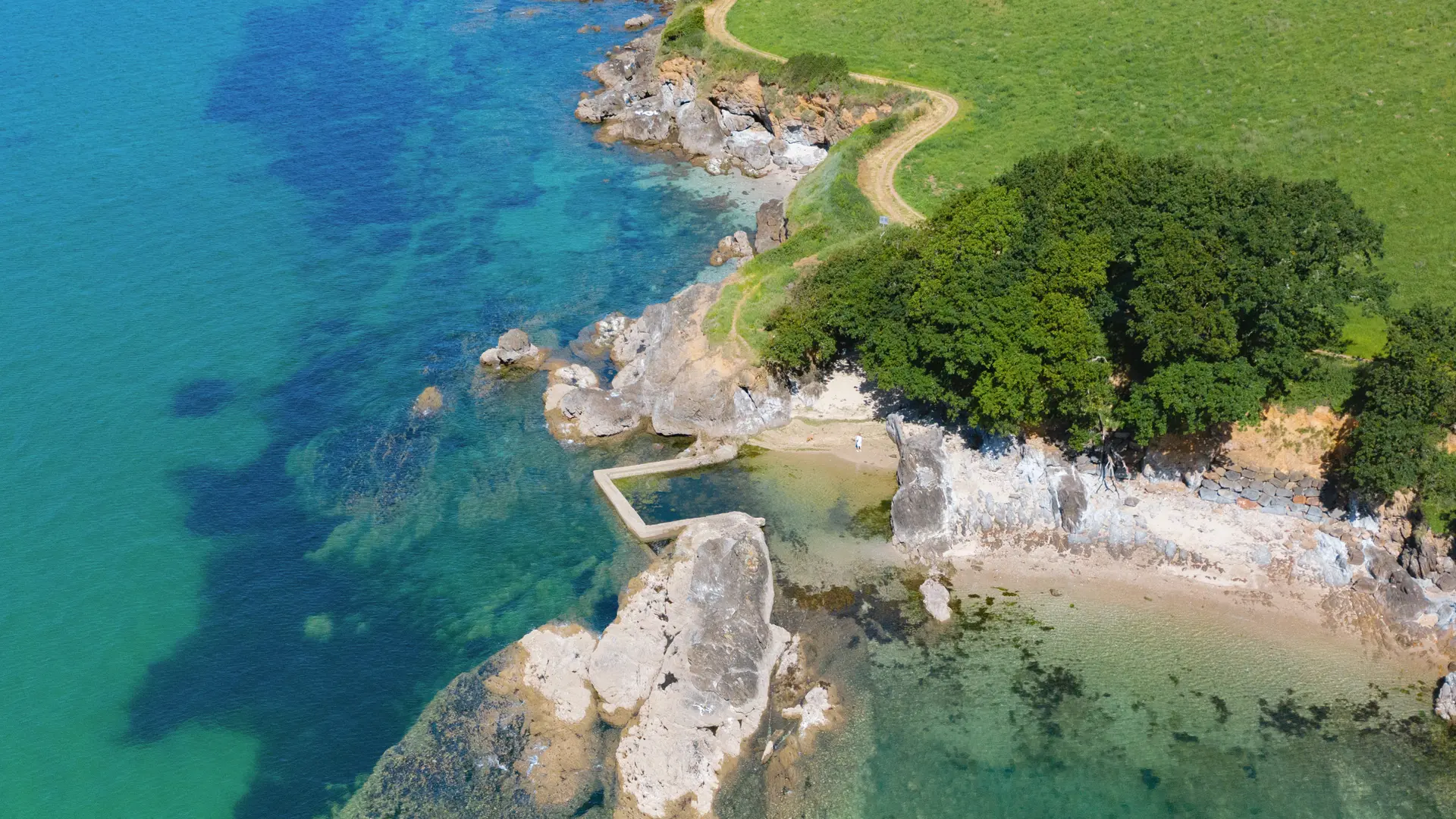
Every step of the way is a new setting: here a secluded cove, there a large beach fringed with dunes, and further on a marsh where birds nest. The GR®34 passes through such emblematic sites as :
- La Mer Blanche, a luminous lagoon between Bénodet and Mousterlin that looks like the end of the world.
- The Mousterlin marsh and the Penfoulic ponds, perfect for watching grey herons, egrets and kingfishers.
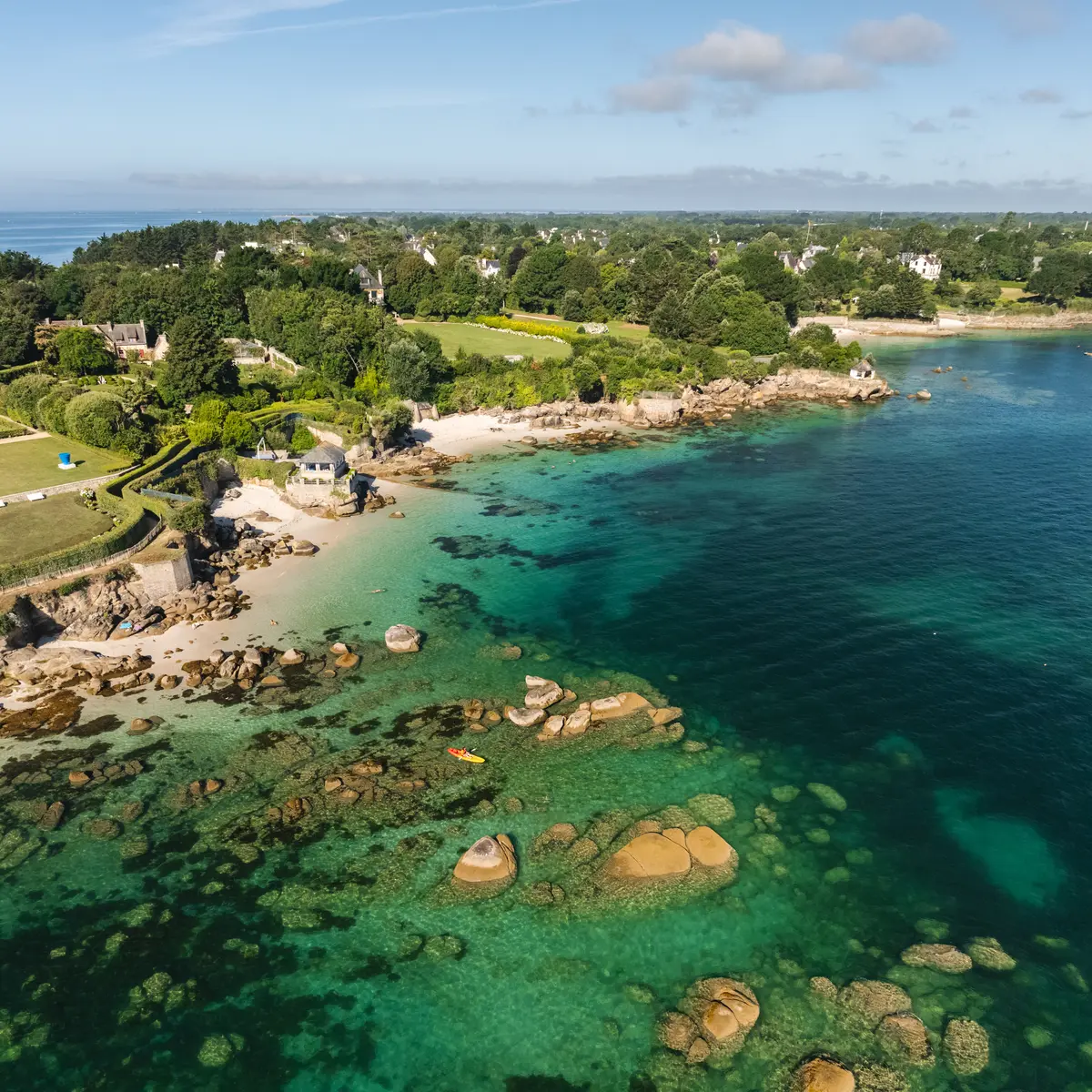
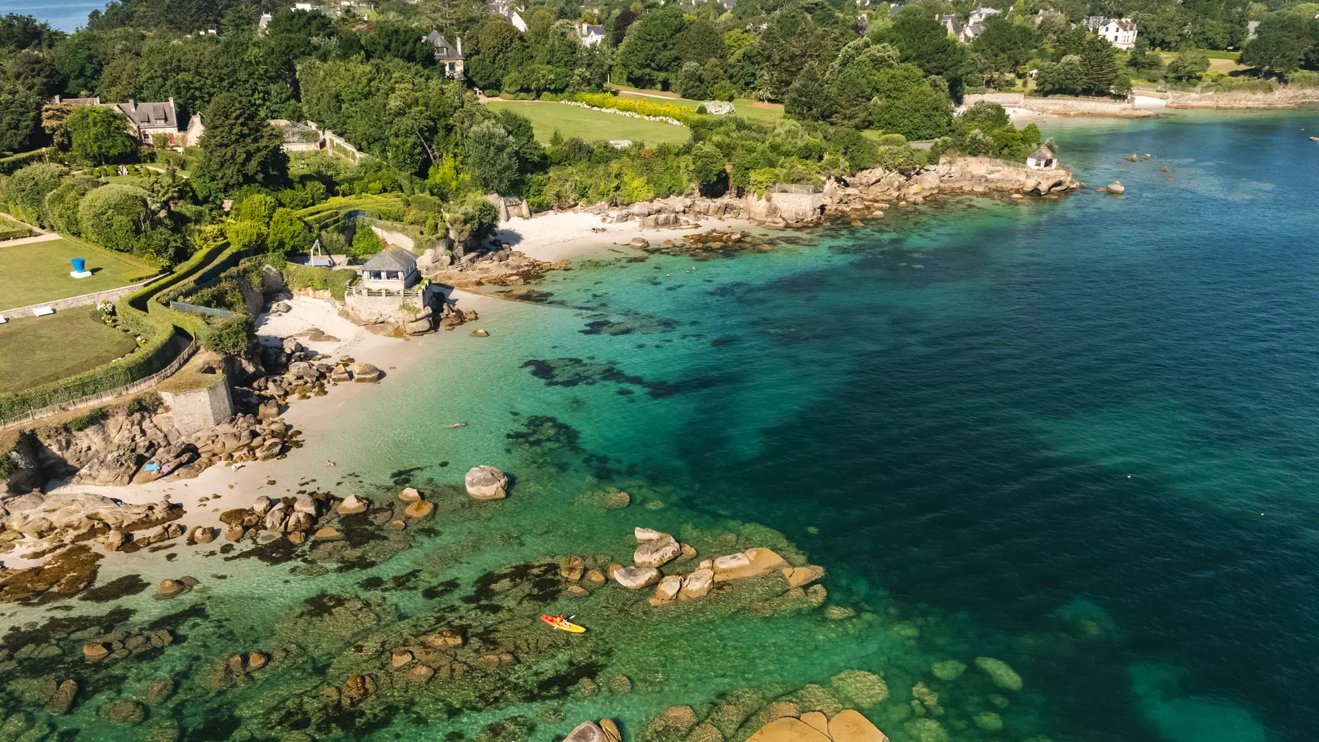
- The Pointe de Mousterlin, the Anse du Petit Moulin and the Pointe de Beg-Meil all offer panoramic views where the sky and sea meet.